Village green and house on junction of Church Road
Introduction
The photograph on this page of Village green and house on junction of Church Road by Nick Smith as part of the Geograph project.
The Geograph project started in 2005 with the aim of publishing, organising and preserving representative images for every square kilometre of Great Britain, Ireland and the Isle of Man.

There are currently over 7.5m images from over 14,400 individuals and you can help contribute to the project by visiting https://www.geograph.org.uk
Village green and house on junction of Church Road
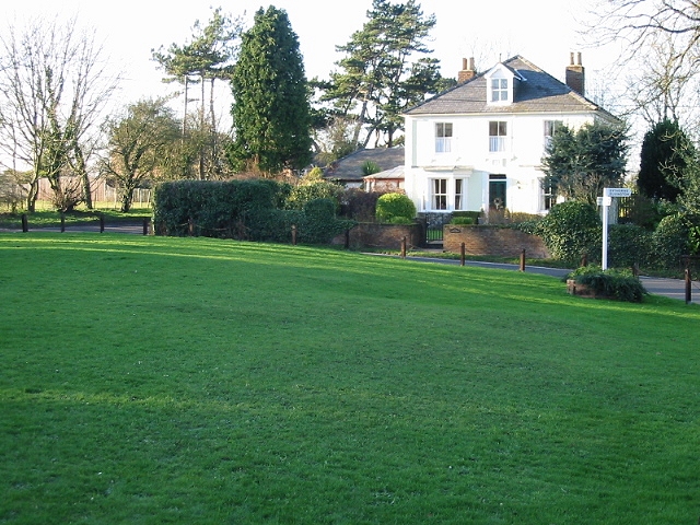
Image: © Nick Smith Taken: 15 Dec 2007
Colret House, at the edge of the green, originally dated from 1762, but was rebuilt in 1903.
Images are licensed for reuse under creativecommons.org/licenses/by-sa/2.0
Image Location
Latitude
51.176545
Longitude
1.245395