Roadworks to widen the access lane to a new estate road
Introduction
The photograph on this page of Roadworks to widen the access lane to a new estate road by Russel Wills as part of the Geograph project.
The Geograph project started in 2005 with the aim of publishing, organising and preserving representative images for every square kilometre of Great Britain, Ireland and the Isle of Man.

There are currently over 7.5m images from over 14,400 individuals and you can help contribute to the project by visiting https://www.geograph.org.uk
Roadworks to widen the access lane to a new estate road
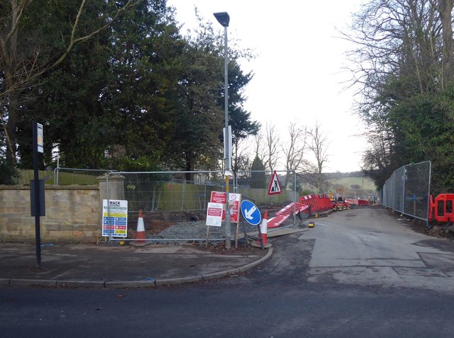
Image: © Russel Wills Taken: 8 Dec 2019
Completely blocking a favourite walk down to the River Aln.
Images are licensed for reuse under creativecommons.org/licenses/by-sa/2.0
Image Location
Latitude
55.407641
Longitude
-1.683011