Former track to Bilham Farm
Introduction
The photograph on this page of Former track to Bilham Farm by John Baker as part of the Geograph project.
The Geograph project started in 2005 with the aim of publishing, organising and preserving representative images for every square kilometre of Great Britain, Ireland and the Isle of Man.

There are currently over 7.5m images from over 14,400 individuals and you can help contribute to the project by visiting https://www.geograph.org.uk
Former track to Bilham Farm
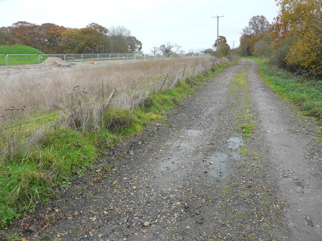
Image: © John Baker Taken: 24 Nov 2019
The track runs from Cheeseman’s Green Lane. The fence, beyond the rough ground, suggests a future development site.
Images are licensed for reuse under creativecommons.org/licenses/by-sa/2.0
Image Location


Leaflet Map data © OpenStreetMap
Latitude
51.114473
Longitude
0.892929