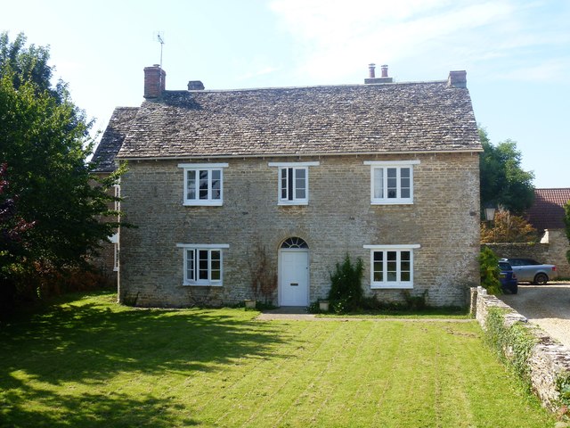
A circular walk around Cricklade [39]
Introduction
The photograph on this page of A circular walk around Cricklade [39] by Michael Dibb as part of the Geograph project.
The Geograph project started in 2005 with the aim of publishing, organising and preserving representative images for every square kilometre of Great Britain, Ireland and the Isle of Man.
There are currently over 7.5m images from over 14,400 individuals and you can help contribute to the project by visiting https://www.geograph.org.uk

Image: © Michael Dibb Taken: 25 Aug 2019
Street Farmhouse, with two parallel ranges, was built circa 1800. Listed, grade II, with details at: https://historicengland.org.uk/listing/the-list/list-entry/1023136 Seen from the road, the Roman Ermin Way (or Ermin Street) which linked Glevum (Gloucester) and Corinium (Cirencester) to Calleva (Silchester). The road, once the A419, is now unclassified. Starting in the town of Cricklade, the walk passes through Latton and Eysey before following the River Thames back to Cricklade.

