Residential care home under construction, Spinney Hill, Warwick
Introduction
The photograph on this page of Residential care home under construction, Spinney Hill, Warwick by Robin Stott as part of the Geograph project.
The Geograph project started in 2005 with the aim of publishing, organising and preserving representative images for every square kilometre of Great Britain, Ireland and the Isle of Man.

There are currently over 7.5m images from over 14,400 individuals and you can help contribute to the project by visiting https://www.geograph.org.uk
Residential care home under construction, Spinney Hill, Warwick
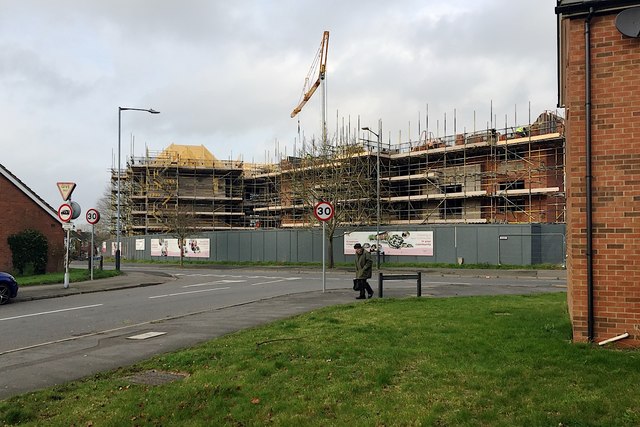
Image: © Robin Stott Taken: 12 Dec 2018
Taking shape on the site of Image The 30mph speed limit signs mark the end of a 20mph zone in All Saints Road, foreground, close to All Saints Primary School.
Images are licensed for reuse under creativecommons.org/licenses/by-sa/2.0
Image Location
Latitude
52.292972
Longitude
-1.570944