Roundabout on Scotts Hill, Southminster
Introduction
The photograph on this page of Roundabout on Scotts Hill, Southminster by David Howard as part of the Geograph project.
The Geograph project started in 2005 with the aim of publishing, organising and preserving representative images for every square kilometre of Great Britain, Ireland and the Isle of Man.

There are currently over 7.5m images from over 14,400 individuals and you can help contribute to the project by visiting https://www.geograph.org.uk
Roundabout on Scotts Hill, Southminster
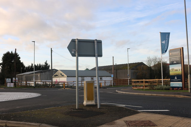
Image: © David Howard Taken: 7 Dec 2019
A new housing development, Blackwater Reach, has just been built on the right next to the farm.
Images are licensed for reuse under creativecommons.org/licenses/by-sa/2.0
Image Location
Latitude
51.662969
Longitude
0.813936