Dacre Gardens
Introduction
The photograph on this page of Dacre Gardens by Simon Carey as part of the Geograph project.
The Geograph project started in 2005 with the aim of publishing, organising and preserving representative images for every square kilometre of Great Britain, Ireland and the Isle of Man.

There are currently over 7.5m images from over 14,400 individuals and you can help contribute to the project by visiting https://www.geograph.org.uk
Dacre Gardens
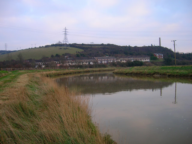
Image: © Simon Carey Taken: 15 Dec 2007
Terraced houses originally built for workers employed by Beeding cement works, whose chimney is to the right. Viewed from the banks of the River Adur.
Images are licensed for reuse under creativecommons.org/licenses/by-sa/2.0
Image Location
Latitude
50.868084
Longitude
-0.297763