Stotfield Burn farm buildings
Introduction
The photograph on this page of Stotfield Burn farm buildings by Mike Quinn as part of the Geograph project.
The Geograph project started in 2005 with the aim of publishing, organising and preserving representative images for every square kilometre of Great Britain, Ireland and the Isle of Man.

There are currently over 7.5m images from over 14,400 individuals and you can help contribute to the project by visiting https://www.geograph.org.uk
Stotfield Burn farm buildings
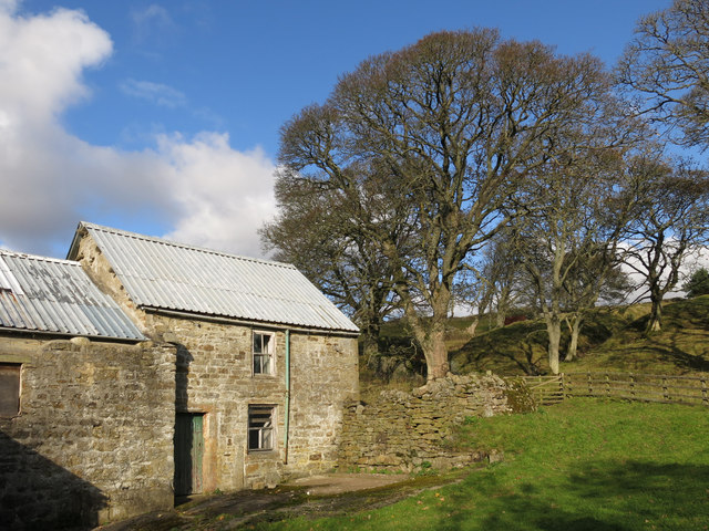
Image: © Mike Quinn Taken: 28 Oct 2019
See Image Christine Ruskin gives the name of the farm as "Stotsfield Burn". The house and outbuildings, which date from the early 17th C, are Grade II listed https://historicengland.org.uk/listing/the-list/list-entry/1277204 ; they have been unoccupied since the early 1950s.
Images are licensed for reuse under creativecommons.org/licenses/by-sa/2.0
Image Location
Latitude
54.77612
Longitude
-2.091999