Frosted field above Loweswater
Introduction
The photograph on this page of Frosted field above Loweswater by Trevor Littlewood as part of the Geograph project.
The Geograph project started in 2005 with the aim of publishing, organising and preserving representative images for every square kilometre of Great Britain, Ireland and the Isle of Man.

There are currently over 7.5m images from over 14,400 individuals and you can help contribute to the project by visiting https://www.geograph.org.uk
Frosted field above Loweswater
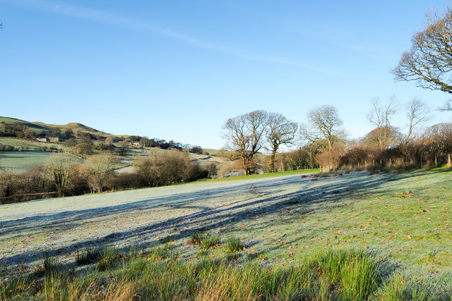
Image: © Trevor Littlewood Taken: 1 Dec 2019
The field is close to the boundary of the Lake District National Park in the area named on OS maps as Waterend. Being on a south facing slope of a day of unbroken sunshine, the frost didn't linger for long, but would persist all day in places where there was continual shade.
Images are licensed for reuse under creativecommons.org/licenses/by-sa/2.0
Image Location
Latitude
54.59024
Longitude
-3.365981