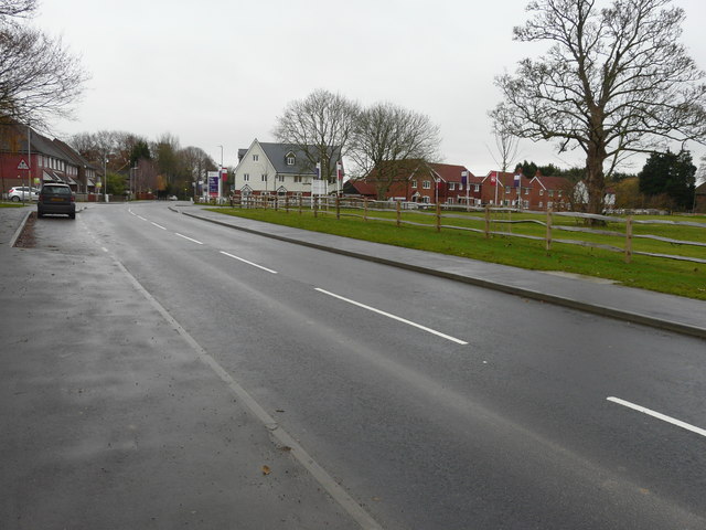
The Lees, Ashford Road
Introduction
The photograph on this page of The Lees, Ashford Road by John Baker as part of the Geograph project.
The Geograph project started in 2005 with the aim of publishing, organising and preserving representative images for every square kilometre of Great Britain, Ireland and the Isle of Man.
There are currently over 7.5m images from over 14,400 individuals and you can help contribute to the project by visiting https://www.geograph.org.uk

Image: © John Baker Taken: 24 Nov 2019
Planning permission has been approved, with conditions, by Folkestone and Hythe District Council under application number Y14/0873/SH for a “hybrid application for the redevelopment of land between the A20 and M20 at Sellindge. Application for outline permission (with all matters reserved except access) comprising of 200 dwellings, local mixed use centre containing parish offices (sui generis up to 100m2), and associated storage (sui generis up to 100m2, 40m2 as closed storage and 60m2 as secure outdoor storage) commercial floorspace (A1/A3/A5 uses up to 200m2) together with access form the A20, associated roads, parking, earthworks, open space including attenuation features and landscaping. Full application comprising 50 dwellings, village green and play equipment, access from the A20, associated roads, community car parking, earthworks, open space including attenuation features and landscaping".

