Fernhill Grove and Lansdowne Church
Introduction
The photograph on this page of Fernhill Grove and Lansdowne Church by Trevor Rickard as part of the Geograph project.
The Geograph project started in 2005 with the aim of publishing, organising and preserving representative images for every square kilometre of Great Britain, Ireland and the Isle of Man.

There are currently over 7.5m images from over 14,400 individuals and you can help contribute to the project by visiting https://www.geograph.org.uk
Fernhill Grove and Lansdowne Church
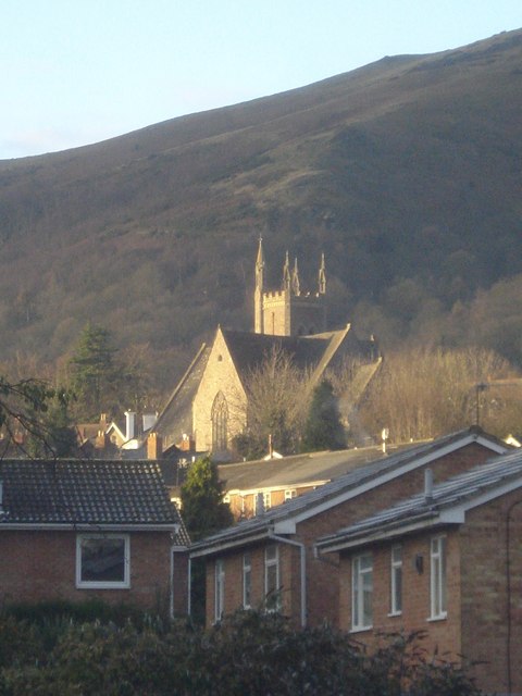
Image: © Trevor Rickard Taken: 11 Dec 2007
View to the south-west with the houses of Fernhill Grove in the foreground, Lansdowne Church in the middle distance and the slopes of the Worcestershire Beacon behind.
Images are licensed for reuse under creativecommons.org/licenses/by-sa/2.0
Image Location


Leaflet Map data © OpenStreetMap
Latitude
52.114238
Longitude
-2.31597