Looking down Prince Consort Road
Introduction
The photograph on this page of Looking down Prince Consort Road by Robert Graham as part of the Geograph project.
The Geograph project started in 2005 with the aim of publishing, organising and preserving representative images for every square kilometre of Great Britain, Ireland and the Isle of Man.

There are currently over 7.5m images from over 14,400 individuals and you can help contribute to the project by visiting https://www.geograph.org.uk
Looking down Prince Consort Road
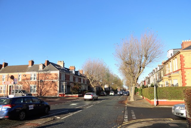
Image: © Robert Graham Taken: 18 Nov 2019
View north past the junction with St Alban's Terrace, on the south side of the town centre. Residential housing is just off the town centre here.
Images are licensed for reuse under creativecommons.org/licenses/by-sa/2.0
Image Location
Latitude
54.952446
Longitude
-1.60213