Teazlewood Park
Introduction
The photograph on this page of Teazlewood Park by Ian Capper as part of the Geograph project.
The Geograph project started in 2005 with the aim of publishing, organising and preserving representative images for every square kilometre of Great Britain, Ireland and the Isle of Man.

There are currently over 7.5m images from over 14,400 individuals and you can help contribute to the project by visiting https://www.geograph.org.uk
Teazlewood Park
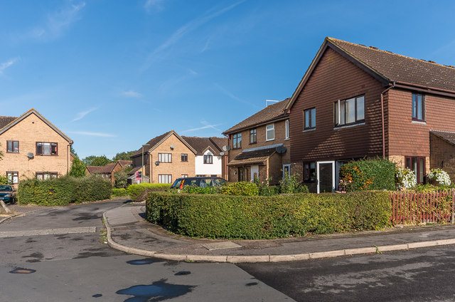
Image: © Ian Capper Taken: 13 Sep 2019
c1980s housing built on part of the Leatherhead Golf Course cut off by the building of the M25. The name Teazlewood refers to an area of woodland to the west of here.
Images are licensed for reuse under creativecommons.org/licenses/by-sa/2.0
Image Location
Latitude
51.314178
Longitude
-0.334024