Cullompton : Higher Bullring
Introduction
The photograph on this page of Cullompton : Higher Bullring by Lewis Clarke as part of the Geograph project.
The Geograph project started in 2005 with the aim of publishing, organising and preserving representative images for every square kilometre of Great Britain, Ireland and the Isle of Man.

There are currently over 7.5m images from over 14,400 individuals and you can help contribute to the project by visiting https://www.geograph.org.uk
Cullompton : Higher Bullring
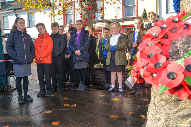
Image: © Lewis Clarke Taken: 11 Nov 2019
Observing a moments silence on Armistice Day.
Images are licensed for reuse under creativecommons.org/licenses/by-sa/2.0
Image Location
Latitude
50.857968
Longitude
-3.393015