The Toll House, Leeds Road, Liversedge
Introduction
The photograph on this page of The Toll House, Leeds Road, Liversedge by habiloid as part of the Geograph project.
The Geograph project started in 2005 with the aim of publishing, organising and preserving representative images for every square kilometre of Great Britain, Ireland and the Isle of Man.

There are currently over 7.5m images from over 14,400 individuals and you can help contribute to the project by visiting https://www.geograph.org.uk
The Toll House, Leeds Road, Liversedge
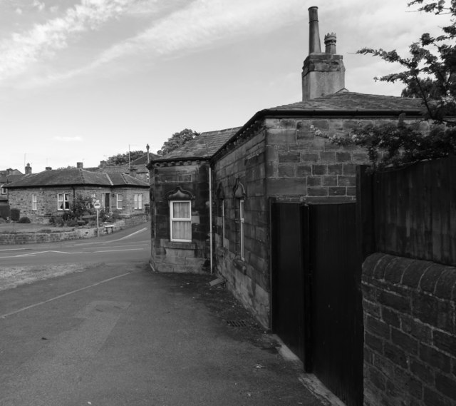
Image: © habiloid Taken: 18 Jun 2018
The Toll House is at the junction of Huddersfield Road (A62) (a small portion of which runs across the centre of the picture) and Roberttown Lane (from where this photo was taken). The house in the background is on Liversedge Hall Lane.
Images are licensed for reuse under creativecommons.org/licenses/by-sa/2.0
Image Location
Latitude
53.705202
Longitude
-1.69548