Farmland near Bradavin
Introduction
The photograph on this page of Farmland near Bradavin by Derek Harper as part of the Geograph project.
The Geograph project started in 2005 with the aim of publishing, organising and preserving representative images for every square kilometre of Great Britain, Ireland and the Isle of Man.

There are currently over 7.5m images from over 14,400 individuals and you can help contribute to the project by visiting https://www.geograph.org.uk
Farmland near Bradavin
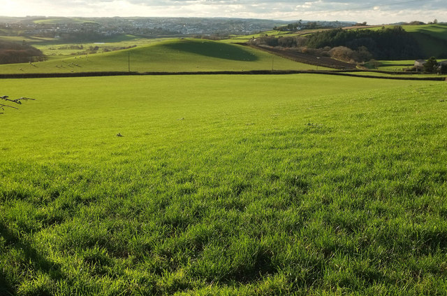
Image: © Derek Harper Taken: 1 Dec 2019
From the junction at Hill Head, looking towards Bideford, with the low hill seen in Image Farm buildings at Bradavin are on the extreme right. Mark's Copse is the wood beyond.
Images are licensed for reuse under creativecommons.org/licenses/by-sa/2.0
Image Location


Leaflet Map data © OpenStreetMap
Latitude
51.027615
Longitude
-4.168887