St. Mary Magdalene's graveyard
Introduction
The photograph on this page of St. Mary Magdalene's graveyard by Richard Croft as part of the Geograph project.
The Geograph project started in 2005 with the aim of publishing, organising and preserving representative images for every square kilometre of Great Britain, Ireland and the Isle of Man.

There are currently over 7.5m images from over 14,400 individuals and you can help contribute to the project by visiting https://www.geograph.org.uk
St. Mary Magdalene's graveyard
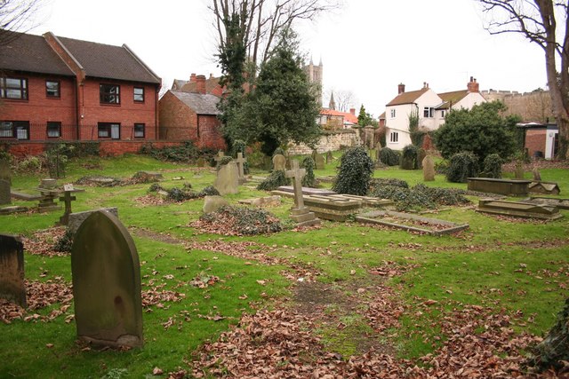
Image: © Richard Croft Taken: 15 Dec 2007
St. Clement's church stood nearby, pulled down about 250 years ago but the burial ground continued in use for St. Mary Magdalene's church until c1920.
Images are licensed for reuse under creativecommons.org/licenses/by-sa/2.0
Image Location


Leaflet Map data © OpenStreetMap
Latitude
53.236975
Longitude
-0.539417