River Wiske at Birkby
Introduction
The photograph on this page of River Wiske at Birkby by Gordon Hatton as part of the Geograph project.
The Geograph project started in 2005 with the aim of publishing, organising and preserving representative images for every square kilometre of Great Britain, Ireland and the Isle of Man.

There are currently over 7.5m images from over 14,400 individuals and you can help contribute to the project by visiting https://www.geograph.org.uk
River Wiske at Birkby
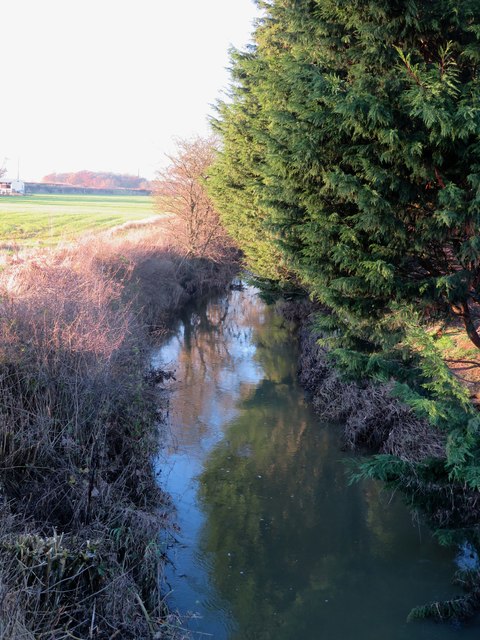
Image: © Gordon Hatton Taken: 3 Dec 2019
The tiny River Wiske meanders its way down through the Vale of Mowbray to eventually join the Swale. During the wet autumn of 2019 it frequently burst its banks and flooded agricultural land, but at this point it appears to have been contained.
Images are licensed for reuse under creativecommons.org/licenses/by-sa/2.0
Image Location
Latitude
54.416344
Longitude
-1.493767