Fairfield House
Introduction
The photograph on this page of Fairfield House by Ian Capper as part of the Geograph project.
The Geograph project started in 2005 with the aim of publishing, organising and preserving representative images for every square kilometre of Great Britain, Ireland and the Isle of Man.

There are currently over 7.5m images from over 14,400 individuals and you can help contribute to the project by visiting https://www.geograph.org.uk
Fairfield House
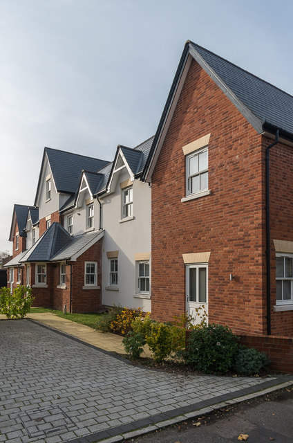
Image: © Ian Capper Taken: 20 Nov 2019
The rear of Fairfield House, a 2017 rebuild of a late 19th Century building on the corner of Fairfield Road and Upper Fairfield Road, as seen from the latter. The previous building was a social club, itself formed out of a large Victorian house of the same name (which maps suggest dated originally from the mid 19th Century or earlier).
Images are licensed for reuse under creativecommons.org/licenses/by-sa/2.0
Image Location
Latitude
51.29736
Longitude
-0.328881