12 - 16 Fairfield Road
Introduction
The photograph on this page of 12 - 16 Fairfield Road by Ian Capper as part of the Geograph project.
The Geograph project started in 2005 with the aim of publishing, organising and preserving representative images for every square kilometre of Great Britain, Ireland and the Isle of Man.

There are currently over 7.5m images from over 14,400 individuals and you can help contribute to the project by visiting https://www.geograph.org.uk
12 - 16 Fairfield Road
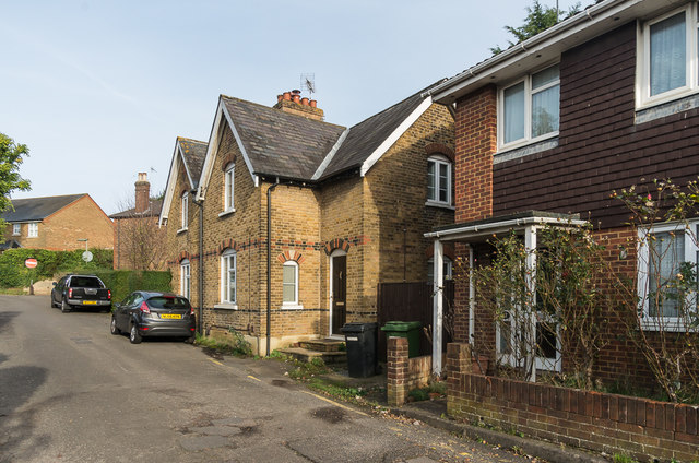
Image: © Ian Capper Taken: 20 Nov 2019
Housing in Fairfield Road. Nos 14 - 16 date from the late 19th Century, whereas no 12 dates from the 1980s, built on part of the site of further similar 19th Century pairs, demolished when Leret Way was built in the 1970s.
Images are licensed for reuse under creativecommons.org/licenses/by-sa/2.0
Image Location
Latitude
51.296563
Longitude
-0.327849