The Crown Inn
Introduction
The photograph on this page of The Crown Inn by John Lucas as part of the Geograph project.
The Geograph project started in 2005 with the aim of publishing, organising and preserving representative images for every square kilometre of Great Britain, Ireland and the Isle of Man.

There are currently over 7.5m images from over 14,400 individuals and you can help contribute to the project by visiting https://www.geograph.org.uk
The Crown Inn
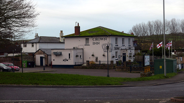
Image: © John Lucas Taken: 29 Nov 2019
A Palmers house beside the A35 Bridport bypass. Palmers is a very local brewery, based just a short distance towards Bridport.
Images are licensed for reuse under creativecommons.org/licenses/by-sa/2.0
Image Location
Latitude
50.722824
Longitude
-2.75687