Inverkip police station demolition
Introduction
The photograph on this page of Inverkip police station demolition by Thomas Nugent as part of the Geograph project.
The Geograph project started in 2005 with the aim of publishing, organising and preserving representative images for every square kilometre of Great Britain, Ireland and the Isle of Man.

There are currently over 7.5m images from over 14,400 individuals and you can help contribute to the project by visiting https://www.geograph.org.uk
Inverkip police station demolition
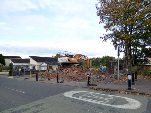
Image: © Thomas Nugent Taken: 21 Oct 2019
Emergency demolition due to safety concerns about the structure of the building. The building on Main Street was vacated by the police in 2002 at which time it was converted to flats. It was subject to a failed planning application to convert it to a Chinese restaurant in 2011. A new police station was opened at the Kip Park development at the north end of Main Street around 2007.
Images are licensed for reuse under creativecommons.org/licenses/by-sa/2.0
Image Location


Leaflet Map data © OpenStreetMap
Latitude
55.907913
Longitude
-4.87208