Marches Way
Introduction
The photograph on this page of Marches Way by Dennis Turner as part of the Geograph project.
The Geograph project started in 2005 with the aim of publishing, organising and preserving representative images for every square kilometre of Great Britain, Ireland and the Isle of Man.

There are currently over 7.5m images from over 14,400 individuals and you can help contribute to the project by visiting https://www.geograph.org.uk
Marches Way
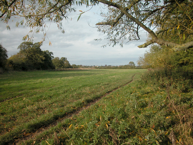
Image: © Dennis Turner Taken: 9 Oct 2005
Long distance path on the bank of the River Dee passes through this grid square.
Images are licensed for reuse under creativecommons.org/licenses/by-sa/2.0
Image Location


Leaflet Map data © OpenStreetMap
Latitude
53.177961
Longitude
-2.878238