A controlled fire in Danby Wood
Introduction
The photograph on this page of A controlled fire in Danby Wood by Evelyn Simak as part of the Geograph project.
The Geograph project started in 2005 with the aim of publishing, organising and preserving representative images for every square kilometre of Great Britain, Ireland and the Isle of Man.

There are currently over 7.5m images from over 14,400 individuals and you can help contribute to the project by visiting https://www.geograph.org.uk
A controlled fire in Danby Wood
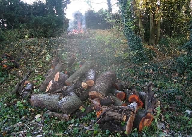
Image: © Evelyn Simak Taken: 30 Nov 2019
Where the Friends of Danby Wood > https://www.geograph.org.uk/photo/6333999 have gathered today to do some tree cutting and shrub clearance work.
Images are licensed for reuse under creativecommons.org/licenses/by-sa/2.0
Image Location
Latitude
52.604139
Longitude
1.277313