The Hermitage by Hole Brook
Introduction
The photograph on this page of The Hermitage by Hole Brook by Chris Heaton as part of the Geograph project.
The Geograph project started in 2005 with the aim of publishing, organising and preserving representative images for every square kilometre of Great Britain, Ireland and the Isle of Man.

There are currently over 7.5m images from over 14,400 individuals and you can help contribute to the project by visiting https://www.geograph.org.uk
The Hermitage by Hole Brook
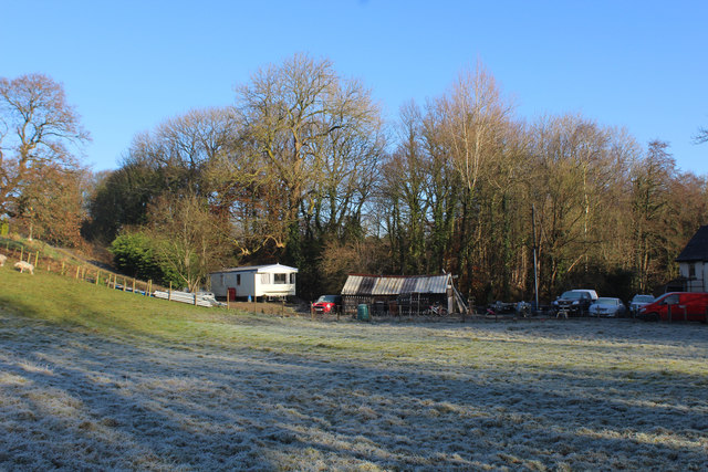
Image: © Chris Heaton Taken: 29 Nov 2019
A shack and mobile home beside The Hermitage - a dwelling beside Hole Brook
Images are licensed for reuse under creativecommons.org/licenses/by-sa/2.0
Image Location


Leaflet Map data © OpenStreetMap
Latitude
53.765866
Longitude
-2.593575