Gate to Maryon Park
Introduction
The photograph on this page of Gate to Maryon Park by Dylan Moore as part of the Geograph project.
The Geograph project started in 2005 with the aim of publishing, organising and preserving representative images for every square kilometre of Great Britain, Ireland and the Isle of Man.

There are currently over 7.5m images from over 14,400 individuals and you can help contribute to the project by visiting https://www.geograph.org.uk
Gate to Maryon Park
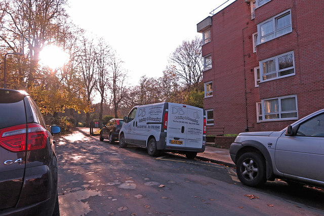
Image: © Dylan Moore Taken: 29 Nov 2019
From Clevely Close, Before re-development in the late 1960s, this was Tamar Street, and in the nineteenth century it was Charlotte Street.
Images are licensed for reuse under creativecommons.org/licenses/by-sa/2.0
Image Location
Latitude
51.491209
Longitude
0.043683