Churchyard and war memorial, Swimbridge
Introduction
The photograph on this page of Churchyard and war memorial, Swimbridge by Derek Harper as part of the Geograph project.
The Geograph project started in 2005 with the aim of publishing, organising and preserving representative images for every square kilometre of Great Britain, Ireland and the Isle of Man.

There are currently over 7.5m images from over 14,400 individuals and you can help contribute to the project by visiting https://www.geograph.org.uk
Churchyard and war memorial, Swimbridge
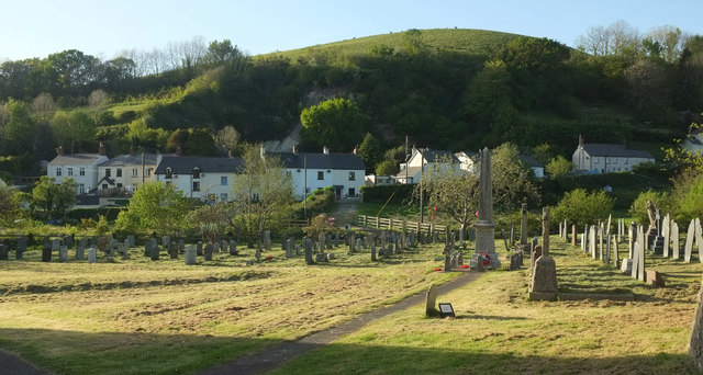
Image: © Derek Harper Taken: 4 May 2019
The granite war memorial, right of centre, is listed and described at https://historicengland.org.uk/listing/the-list/list-entry/1463734 . The Venn Stream runs along the far edge of the churchyard. The houses are on Station Hill. Behind, with a disused quarry in its side, is Hooda Hill.
Images are licensed for reuse under creativecommons.org/licenses/by-sa/2.0
Image Location
Latitude
51.052825
Longitude
-3.969301