Sheep pasture near Swimbridge
Introduction
The photograph on this page of Sheep pasture near Swimbridge by Derek Harper as part of the Geograph project.
The Geograph project started in 2005 with the aim of publishing, organising and preserving representative images for every square kilometre of Great Britain, Ireland and the Isle of Man.

There are currently over 7.5m images from over 14,400 individuals and you can help contribute to the project by visiting https://www.geograph.org.uk
Sheep pasture near Swimbridge
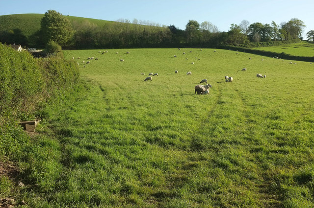
Image: © Derek Harper Taken: 4 May 2019
From the lane from Yarnacott Corner to Marsh Cross. On the left behind the hedge begins the built-up area of Swimbridge, with houses on Oakdale Avenue. Behind is Hooda Hill.
Images are licensed for reuse under creativecommons.org/licenses/by-sa/2.0
Image Location
Latitude
51.056497
Longitude
-3.97017