Cycle Path
Introduction
The photograph on this page of Cycle Path by Paul McIlroy as part of the Geograph project.
The Geograph project started in 2005 with the aim of publishing, organising and preserving representative images for every square kilometre of Great Britain, Ireland and the Isle of Man.

There are currently over 7.5m images from over 14,400 individuals and you can help contribute to the project by visiting https://www.geograph.org.uk
Cycle Path
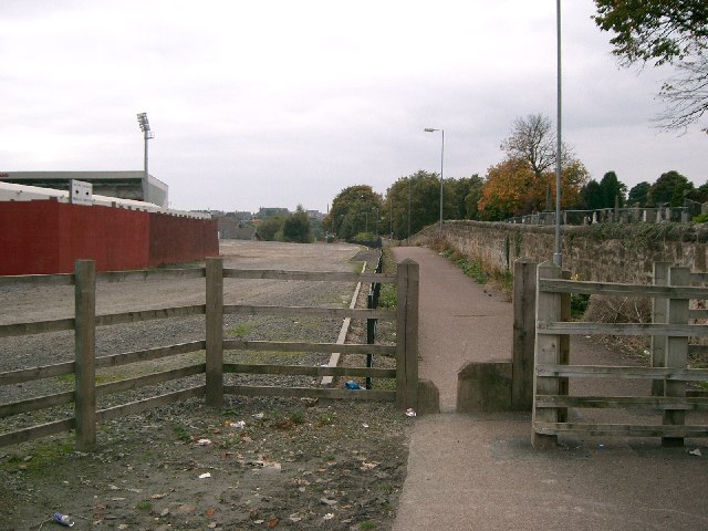
Image: © Paul McIlroy Taken: 5 Oct 2005
Looking West towards Dunfermline town centre, Dunfermline Cemetery is on the right and East End Park is on the left Image
Images are licensed for reuse under creativecommons.org/licenses/by-sa/2.0
Image Location


Leaflet Map data © OpenStreetMap
Latitude
56.080902
Longitude
-3.439638