North West end of the disused bridge across the M27
Introduction
The photograph on this page of North West end of the disused bridge across the M27 by Bob Pitman as part of the Geograph project.
The Geograph project started in 2005 with the aim of publishing, organising and preserving representative images for every square kilometre of Great Britain, Ireland and the Isle of Man.

There are currently over 7.5m images from over 14,400 individuals and you can help contribute to the project by visiting https://www.geograph.org.uk
North West end of the disused bridge across the M27
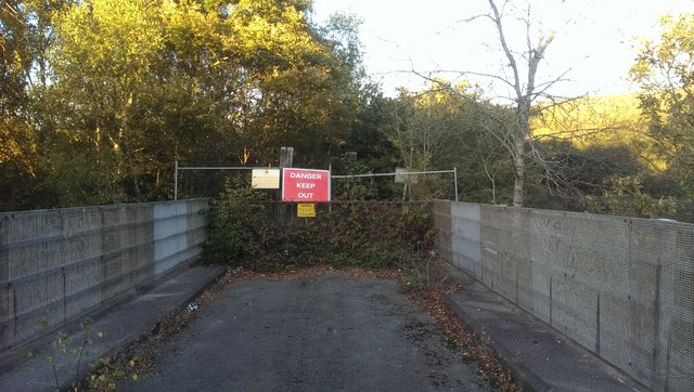
Image: © Bob Pitman Taken: 29 Oct 2018
This is the Rookery Farm landfill end of the disused bridge over the Swanwick-Bursledon railway line and the M27. It's a dead end there is no way to go further.
Images are licensed for reuse under creativecommons.org/licenses/by-sa/2.0
Image Location
Latitude
50.879326
Longitude
-1.275603