Track past the Hermitage
Introduction
The photograph on this page of Track past the Hermitage by Stephen McKay as part of the Geograph project.
The Geograph project started in 2005 with the aim of publishing, organising and preserving representative images for every square kilometre of Great Britain, Ireland and the Isle of Man.

There are currently over 7.5m images from over 14,400 individuals and you can help contribute to the project by visiting https://www.geograph.org.uk
Track past the Hermitage
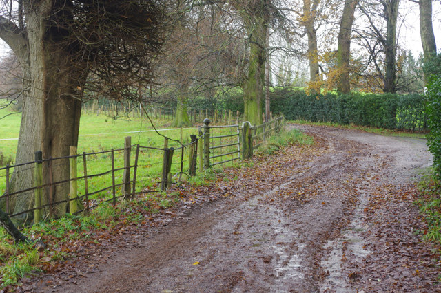
Image: © Stephen McKay Taken: 27 Nov 2019
The track winds its way from Holmes Chapel towards Goostrey past the Hermitage, once owned by the Cranage family, on the right hidden behind hedges. The track has 'road used as a public path' status.
Images are licensed for reuse under creativecommons.org/licenses/by-sa/2.0
Image Location
Latitude
53.209441
Longitude
-2.353023