Field above Avonwick
Introduction
The photograph on this page of Field above Avonwick by Derek Harper as part of the Geograph project.
The Geograph project started in 2005 with the aim of publishing, organising and preserving representative images for every square kilometre of Great Britain, Ireland and the Isle of Man.

There are currently over 7.5m images from over 14,400 individuals and you can help contribute to the project by visiting https://www.geograph.org.uk
Field above Avonwick
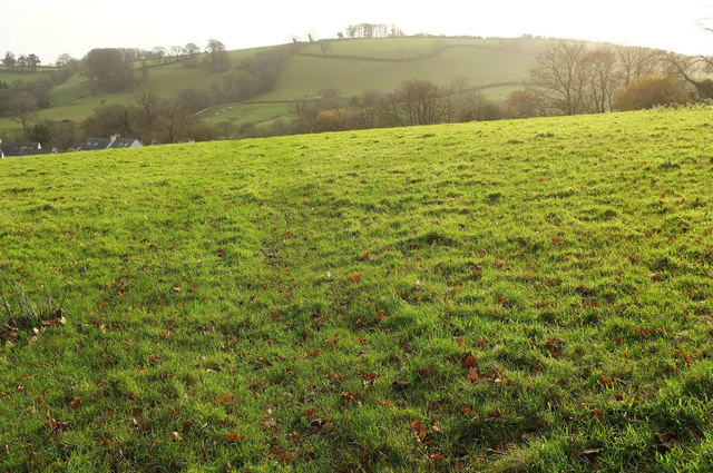
Image: © Derek Harper Taken: 26 Nov 2019
Looking right from where Image] was taken, with some more of the housing on the left, and a hill possibly called Baron's Hill across a valley, looking into the sun.
Images are licensed for reuse under creativecommons.org/licenses/by-sa/2.0
Image Location
Latitude
50.408548
Longitude
-3.818185