Field, East Moore
Introduction
The photograph on this page of Field, East Moore by Derek Harper as part of the Geograph project.
The Geograph project started in 2005 with the aim of publishing, organising and preserving representative images for every square kilometre of Great Britain, Ireland and the Isle of Man.

There are currently over 7.5m images from over 14,400 individuals and you can help contribute to the project by visiting https://www.geograph.org.uk
Field, East Moore
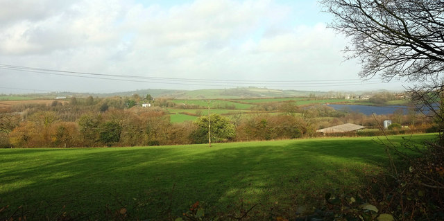
Image: © Derek Harper Taken: 26 Nov 2019
Farm buildings at East Moore can be seen on the right, with a solar farm above them. Left of centre across a valley is Hazard. This is from the same place as Image], looking right; the field can be seen in Image
Images are licensed for reuse under creativecommons.org/licenses/by-sa/2.0
Image Location


Leaflet Map data © OpenStreetMap
Latitude
50.414998
Longitude
-3.767337