Field near Hazard Quarry
Introduction
The photograph on this page of Field near Hazard Quarry by Derek Harper as part of the Geograph project.
The Geograph project started in 2005 with the aim of publishing, organising and preserving representative images for every square kilometre of Great Britain, Ireland and the Isle of Man.

There are currently over 7.5m images from over 14,400 individuals and you can help contribute to the project by visiting https://www.geograph.org.uk
Field near Hazard Quarry
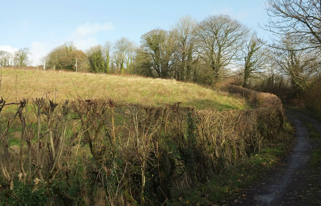
Image: © Derek Harper Taken: 26 Nov 2019
From the lane shown in Image], looking back up to trees by the junction with the lane from Hazard to Langford. The fence up on the left is around Hazard Solar Farm; panels just off to the left.
Images are licensed for reuse under creativecommons.org/licenses/by-sa/2.0
Image Location


Leaflet Map data © OpenStreetMap
Latitude
50.418236
Longitude
-3.755493