Honeybourne Railway Station
Introduction
The photograph on this page of Honeybourne Railway Station by Eirian Evans as part of the Geograph project.
The Geograph project started in 2005 with the aim of publishing, organising and preserving representative images for every square kilometre of Great Britain, Ireland and the Isle of Man.

There are currently over 7.5m images from over 14,400 individuals and you can help contribute to the project by visiting https://www.geograph.org.uk
Honeybourne Railway Station
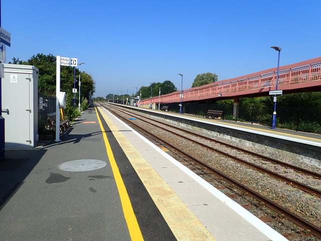
Image: © Eirian Evans Taken: 26 Aug 2019
Honeybourne railway station opened in 1853, it is on the Cotswold Line and was formerly a busy junction with five platform faces, also serving trains on the Great Western Railway's Honeybourne Line between Cheltenham Spa and Stratford-upon-Avon, which formed part of a strategic route between the West Midlands and the West of England. The station was closed in 1969, after the withdrawal of stopping services and closure to freight, and the whole of the Stratford to Cheltenham line was closed in late August 1976, after derailment of some wagons on a goods train damaged a section of the track. Honeybourne was reopened in 1981, in connection with residential development near the station. https://en.wikipedia.org/wiki/Honeybourne_railway_station
Images are licensed for reuse under creativecommons.org/licenses/by-sa/2.0
Image Location


Leaflet Map data © OpenStreetMap
Latitude
52.101689
Longitude
-1.833815