Edgware Road, Burnt Oak
Introduction
The photograph on this page of Edgware Road, Burnt Oak by David Howard as part of the Geograph project.
The Geograph project started in 2005 with the aim of publishing, organising and preserving representative images for every square kilometre of Great Britain, Ireland and the Isle of Man.

There are currently over 7.5m images from over 14,400 individuals and you can help contribute to the project by visiting https://www.geograph.org.uk
Edgware Road, Burnt Oak
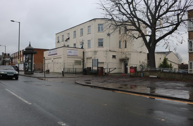
Image: © David Howard Taken: 25 Nov 2019
When I moved to Kingsbury in 1995 I bought a picture in a shop up on the right and it has remained in my lounge ever since.
Images are licensed for reuse under creativecommons.org/licenses/by-sa/2.0
Image Location
Latitude
51.596153
Longitude
-0.262163