Church Lane, Chew Stoke
Introduction
The photograph on this page of Church Lane, Chew Stoke by Derek Harper as part of the Geograph project.
The Geograph project started in 2005 with the aim of publishing, organising and preserving representative images for every square kilometre of Great Britain, Ireland and the Isle of Man.

There are currently over 7.5m images from over 14,400 individuals and you can help contribute to the project by visiting https://www.geograph.org.uk
Church Lane, Chew Stoke
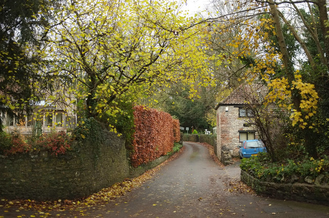
Image: © Derek Harper Taken: 25 Nov 2019
On the left is a glimpse through trees of the grade II* listed Rectory https://historicengland.org.uk/listing/the-list/list-entry/1320747 , built in 1529.
Images are licensed for reuse under creativecommons.org/licenses/by-sa/2.0
Image Location


Leaflet Map data © OpenStreetMap
Latitude
51.354264
Longitude
-2.636263