Amphitheatre Moridvnvm name sign, Carmarthen
Introduction
The photograph on this page of Amphitheatre Moridvnvm name sign, Carmarthen by Jaggery as part of the Geograph project.
The Geograph project started in 2005 with the aim of publishing, organising and preserving representative images for every square kilometre of Great Britain, Ireland and the Isle of Man.

There are currently over 7.5m images from over 14,400 individuals and you can help contribute to the project by visiting https://www.geograph.org.uk
Amphitheatre Moridvnvm name sign, Carmarthen
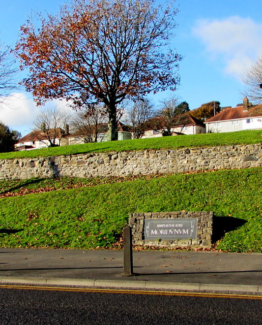
Image: © Jaggery Taken: 18 Nov 2019
Alongside Priory Street below these https://www.geograph.org.uk/photo/3083041 remains of an ancient Roman amphitheatre which was part of Moridvnvm (or Moridunum), Latin for sea fort, the ancient Roman fort and town in the Roman province of Britannia.
Images are licensed for reuse under creativecommons.org/licenses/by-sa/2.0
Image Location
Latitude
51.86191
Longitude
-4.295941