Byway signs, Castle Farm
Introduction
The photograph on this page of Byway signs, Castle Farm by Derek Harper as part of the Geograph project.
The Geograph project started in 2005 with the aim of publishing, organising and preserving representative images for every square kilometre of Great Britain, Ireland and the Isle of Man.

There are currently over 7.5m images from over 14,400 individuals and you can help contribute to the project by visiting https://www.geograph.org.uk
Byway signs, Castle Farm
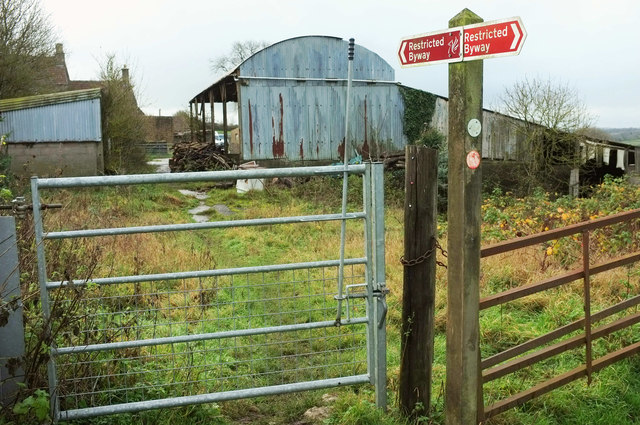
Image: © Derek Harper Taken: 25 Nov 2019
The farm is also shown at Image] and Image As the lower waymark shows, restricted byway LA7 44/10 is followed by the Dundry Hilltop Walk, although this doesn't quite match the route shown at http://www.dundry.org.uk/parish_council/Dundry%20Walk.pdf . The upper waymark is a faded blue; there should be one for the Monarch's Way, and although they are usually yellow, some are blue.
Images are licensed for reuse under creativecommons.org/licenses/by-sa/2.0
Image Location
Latitude
51.398512
Longitude
-2.650964