Castle Farm
Introduction
The photograph on this page of Castle Farm by Derek Harper as part of the Geograph project.
The Geograph project started in 2005 with the aim of publishing, organising and preserving representative images for every square kilometre of Great Britain, Ireland and the Isle of Man.

There are currently over 7.5m images from over 14,400 individuals and you can help contribute to the project by visiting https://www.geograph.org.uk
Castle Farm
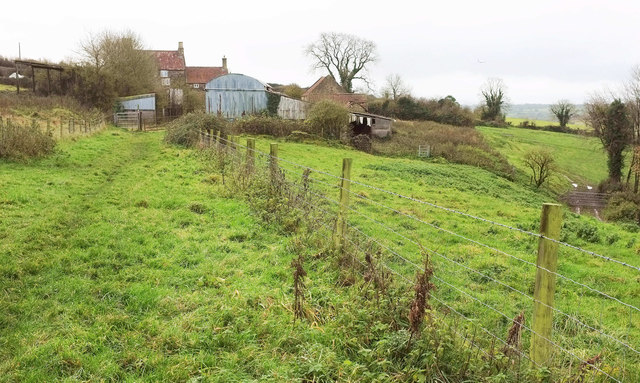
Image: © Derek Harper Taken: 25 Nov 2019
The Monarch's Way follows restricted byway LA7 44/10 through the farm. The farmhouse at the rear is listed https://historicengland.org.uk/listing/the-list/list-entry/1320997 . But where was the castle? On the right is the start of the belt of trees shown in Image]; the spring mentioned must be close to the gate. Public footpaths join the byway from either side in the next few metres.
Images are licensed for reuse under creativecommons.org/licenses/by-sa/2.0
Image Location
Latitude
51.39824
Longitude
-2.651391