Lower Kerswill Farm
Introduction
The photograph on this page of Lower Kerswill Farm by Derek Harper as part of the Geograph project.
The Geograph project started in 2005 with the aim of publishing, organising and preserving representative images for every square kilometre of Great Britain, Ireland and the Isle of Man.

There are currently over 7.5m images from over 14,400 individuals and you can help contribute to the project by visiting https://www.geograph.org.uk
Lower Kerswill Farm
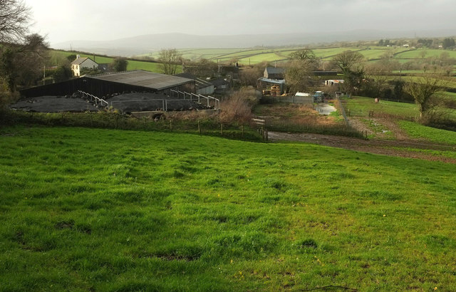
Image: © Derek Harper Taken: 26 Nov 2019
The view taken in 2009 at Image shows a rough track crossing this field to the farm, but it seems to have fallen out of use during the intervening decade. The moor looms in the distance.
Images are licensed for reuse under creativecommons.org/licenses/by-sa/2.0
Image Location


Leaflet Map data © OpenStreetMap
Latitude
50.41274
Longitude
-3.77978