Kings Meadow Housing Estate
Introduction
The photograph on this page of Kings Meadow Housing Estate by Geographer as part of the Geograph project.
The Geograph project started in 2005 with the aim of publishing, organising and preserving representative images for every square kilometre of Great Britain, Ireland and the Isle of Man.

There are currently over 7.5m images from over 14,400 individuals and you can help contribute to the project by visiting https://www.geograph.org.uk
Kings Meadow Housing Estate
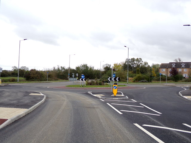
Image: © Geographer Taken: 11 Oct 2019
Approaching Thistle Corner
Images are licensed for reuse under creativecommons.org/licenses/by-sa/2.0
Image Location
Latitude
52.409302
Longitude
0.286443