Terrace Hills Farm, near Branston, Leicestershire
Introduction
The photograph on this page of Terrace Hills Farm, near Branston, Leicestershire by Kate Jewell as part of the Geograph project.
The Geograph project started in 2005 with the aim of publishing, organising and preserving representative images for every square kilometre of Great Britain, Ireland and the Isle of Man.

There are currently over 7.5m images from over 14,400 individuals and you can help contribute to the project by visiting https://www.geograph.org.uk
Terrace Hills Farm, near Branston, Leicestershire
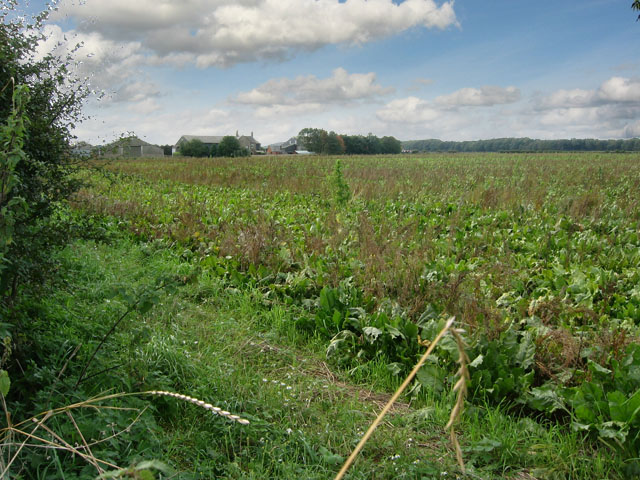
Image: © Kate Jewell Taken: 9 Oct 2005
Looking NW. This is the only group of buildings in this square. The farm sits on the flat land at the top of Terrace Hills. It can be quite blustery up here and there is a conifer windbreak planted from the road to the edge of the woodland that clothes the north slope of the Hills. These can be seen on the horizon and only just clip the corner of the square, mostly falling in the squares immediately to W, NW and N.
Images are licensed for reuse under creativecommons.org/licenses/by-sa/2.0
Image Location
Latitude
52.873309
Longitude
-0.820295