Former Esslemont station
Introduction
The photograph on this page of Former Esslemont station by Bill Harrison as part of the Geograph project.
The Geograph project started in 2005 with the aim of publishing, organising and preserving representative images for every square kilometre of Great Britain, Ireland and the Isle of Man.

There are currently over 7.5m images from over 14,400 individuals and you can help contribute to the project by visiting https://www.geograph.org.uk
Former Esslemont station
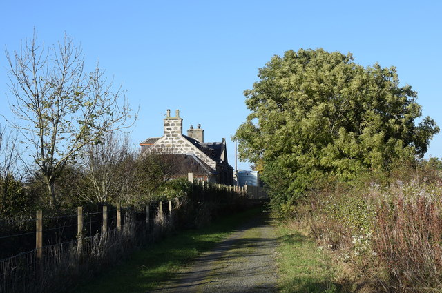
Image: © Bill Harrison Taken: 17 Oct 2019
Opened 1861, closed 1952. Compare the photo taken by the late Ben Brooksbank in the opposite direction some 30 years earlier: https://www.geograph.org.uk/photo/3460453 .
Images are licensed for reuse under creativecommons.org/licenses/by-sa/2.0
Image Location
Latitude
57.349651
Longitude
-2.11215