Greenbank Road
Introduction
The photograph on this page of Greenbank Road by Stephen Craven as part of the Geograph project.
The Geograph project started in 2005 with the aim of publishing, organising and preserving representative images for every square kilometre of Great Britain, Ireland and the Isle of Man.

There are currently over 7.5m images from over 14,400 individuals and you can help contribute to the project by visiting https://www.geograph.org.uk
Greenbank Road
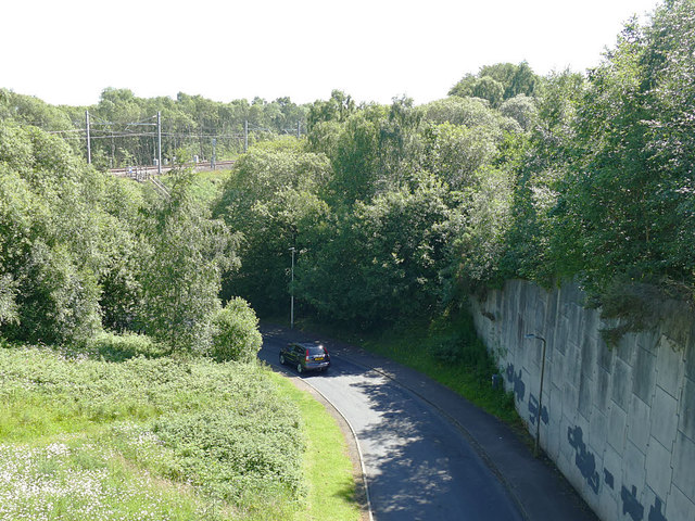
Image: © Stephen Craven Taken: 27 Jun 2019
Viewed from the aqueduct Image, the road presumably predates it, but is later than the 1930s when the flight of locks between the upper and lower canals became disused. Where the bridge under the railway is now, was the location of one of the canal basins (the railway alignment was further north then).
Images are licensed for reuse under creativecommons.org/licenses/by-sa/2.0
Image Location
Latitude
55.994733
Longitude
-3.819958