Vennaford Farm
Introduction
The photograph on this page of Vennaford Farm by Derek Harper as part of the Geograph project.
The Geograph project started in 2005 with the aim of publishing, organising and preserving representative images for every square kilometre of Great Britain, Ireland and the Isle of Man.

There are currently over 7.5m images from over 14,400 individuals and you can help contribute to the project by visiting https://www.geograph.org.uk
Vennaford Farm
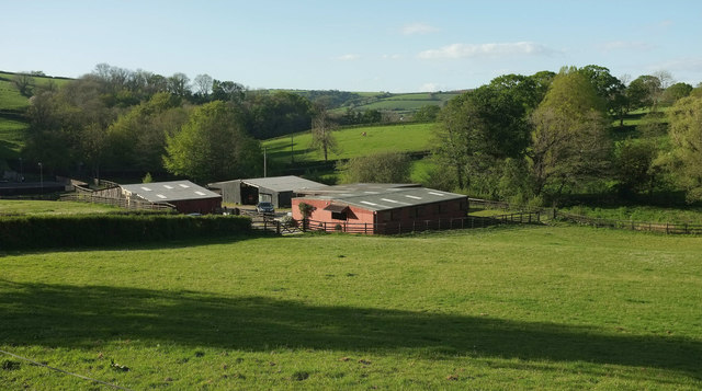
Image: © Derek Harper Taken: 4 May 2019
Looking left from where Image] was taken, with farm buildings in the valley; the farmhouse is off to the left.
Images are licensed for reuse under creativecommons.org/licenses/by-sa/2.0
Image Location
Latitude
51.049635
Longitude
-3.992993