Great Eccleston Bowling Club, Hall Lane
Introduction
The photograph on this page of Great Eccleston Bowling Club, Hall Lane by David Dixon as part of the Geograph project.
The Geograph project started in 2005 with the aim of publishing, organising and preserving representative images for every square kilometre of Great Britain, Ireland and the Isle of Man.

There are currently over 7.5m images from over 14,400 individuals and you can help contribute to the project by visiting https://www.geograph.org.uk
Great Eccleston Bowling Club, Hall Lane
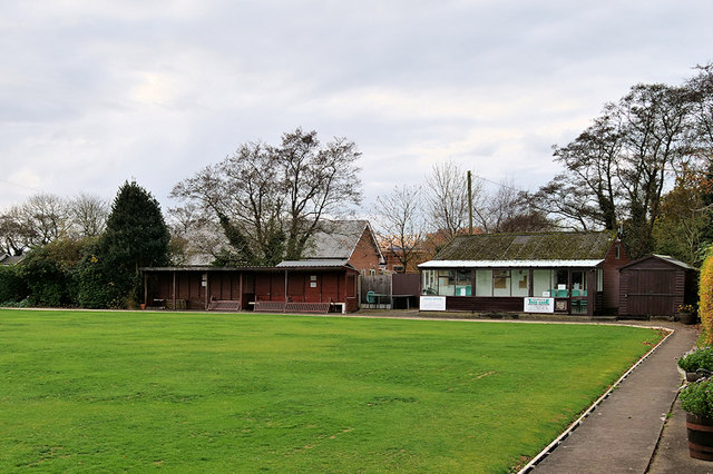
Image: © David Dixon Taken: 16 Nov 2019
The village of Great Eccleston is situated on the Fylde coastal plain, south of the River Wyre, approximately 10 miles upstream from Fleetwood. It is listed in the 1086 Domesday Book as Eglestun.
Images are licensed for reuse under creativecommons.org/licenses/by-sa/2.0
Image Location
Latitude
53.85162
Longitude
-2.871913