Lordship Lane, Lordship Marsh
Introduction
The photograph on this page of Lordship Lane, Lordship Marsh by Christine Johnstone as part of the Geograph project.
The Geograph project started in 2005 with the aim of publishing, organising and preserving representative images for every square kilometre of Great Britain, Ireland and the Isle of Man.

There are currently over 7.5m images from over 14,400 individuals and you can help contribute to the project by visiting https://www.geograph.org.uk
Lordship Lane, Lordship Marsh
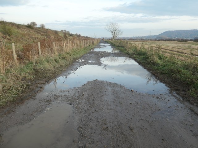
Image: © Christine Johnstone Taken: 19 Nov 2019
A restricted byway on the southern perimeter of Frodsham deposit ground no. 6. Somewhere among the puddles is a 5 metre spot height.
Images are licensed for reuse under creativecommons.org/licenses/by-sa/2.0
Image Location
Latitude
53.291841
Longitude
-2.762355