Weir on the Ouse at Bedford
Introduction
The photograph on this page of Weir on the Ouse at Bedford by M J Richardson as part of the Geograph project.
The Geograph project started in 2005 with the aim of publishing, organising and preserving representative images for every square kilometre of Great Britain, Ireland and the Isle of Man.

There are currently over 7.5m images from over 14,400 individuals and you can help contribute to the project by visiting https://www.geograph.org.uk
Weir on the Ouse at Bedford
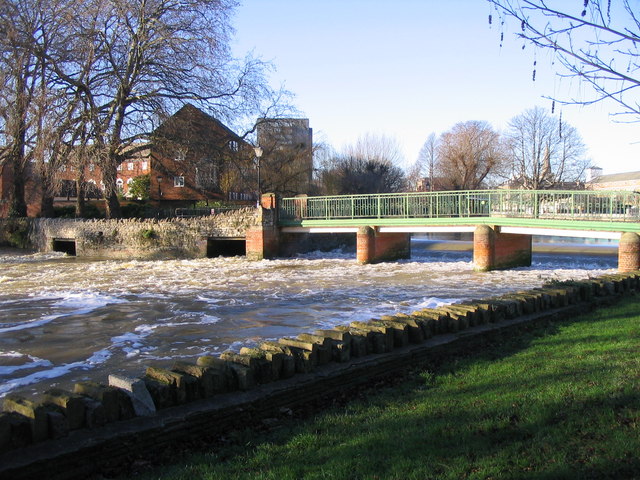
Image: © M J Richardson Taken: 11 Dec 2007
A footbridge, and another of the weirs that controls the flow of the R. Ouse through the Embankment and Russell Park area of Bedford, with a high flow of water after several days' heavy rain.
Images are licensed for reuse under creativecommons.org/licenses/by-sa/2.0
Image Location
Latitude
52.134038
Longitude
-0.462231