Weir below Queen Margaret Bridge
Introduction
The photograph on this page of Weir below Queen Margaret Bridge by Stephen Craven as part of the Geograph project.
The Geograph project started in 2005 with the aim of publishing, organising and preserving representative images for every square kilometre of Great Britain, Ireland and the Isle of Man.

There are currently over 7.5m images from over 14,400 individuals and you can help contribute to the project by visiting https://www.geograph.org.uk
Weir below Queen Margaret Bridge
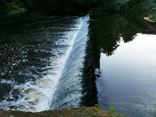
Image: © Stephen Craven Taken: 26 Jun 2019
The head of water from this weir supplied power to North Woodside Flint Mill via a mill race Image
Images are licensed for reuse under creativecommons.org/licenses/by-sa/2.0
Image Location
Latitude
55.878955
Longitude
-4.285202